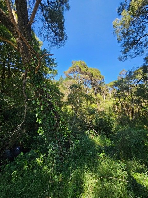
BAL Assessment Merricks Mornington Peninsula November 2023
Conducting a BAL assesment in Merricks on land that has a Bushfire Management Overlay involved assessing the Classified Vegetation within a 150 metres of the proposed building envelop. The wet gully vegetation of Melaleucas along the North Branch of Waterholes Creek runs up into the taller Stringbark forests in the North West. The bushfire landscape assessment identiifies the broader bushfire hazard in the landscape and this run of contiguous Stringbark forest that comes down the spur line from Red Hill South and through to Merricks.
So what initially looked like open farmland with a few remnant trees, on closer investigation identified the direction and extent of the bushfire hazard in the landscape. Paying attention to the location of the bushfire hazards enables the planning for an improved outcome to be obtained and in this case building enevlop to positioned in a way that provides a good area of defendable space on the side of the house where it is most required.

