BAL Assessment Kinglake June 2022
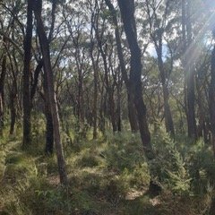
Kinglake sits on the edge of the Great Dividing Range. When developing a Bushfire Management Statement we look at the bushfire hazard at varying scales across the landscape to ascertain the direction a bushfire is likely to approach from, its intensity and its potential forward rate of spread. Looking at the bushfire hazard at varying scales across the landscape provides different perspectives.
In Kinglake bushfires can and do approach from multiple directions on days of extreme fire danger days. Long tracts of bush can provide a path for a fire to approach from the North West to Kinglake under strong North Westerly winds, spitting out spot fire ahead of the main front. When a South Westerly change comes through the bushfires can turn and burn on a very large fronts. This is what happened on Black Saturday 7 February 2009.
Looking at the landscape out to 70kms and beyond the vast majority of the forested landscape extends out to the east, away from Kinglake.
When we look at the local are landscape around Kinglake Central there is a substantial are of agricultural land around Kinglake Central that is plough, cropped or grazed around some of the farm houses, effectively creating a 650 ha area of defendable space on adjoining properties around these houses. These houses survived the fire storm of Black Saturday.
Of course there are other factors at play with how clear the farm house yards were, the shielding from ornamental European trees (with lower flammability than Eucalypts).
Some of these farm houses are old weatherboard houses over 100 years old.
Demonstrating the effectiveness of defendable space lowering the intensity of the bushfire as it drops out of the forest and burns across the grazed grassed paddocks.

